
This event has passed.
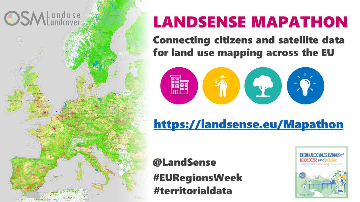
LandSense Mapathon
19 October 2020 - 31 December 2020
Connecting citizens and satellite data for land use mapping across the EU
Using OpenStreetMap and Sentinel 2 satellite imagery LandSense project created a citizen-powered land use map of the EU. As part of the European Week of Regions and Cities a mapathon (https://landsense.eu/Mapathon) is taking place aiming to help validate the OSMLandUse product created at the GIScience Research Group in Heidelberg.
You can contribute in up to four themes (Urban, Agriculture, Nature and Expert) and your responses are anonymously checked against other volunteers to ensure data quality standards.
The results of this mapathon will be made openly available for public use.